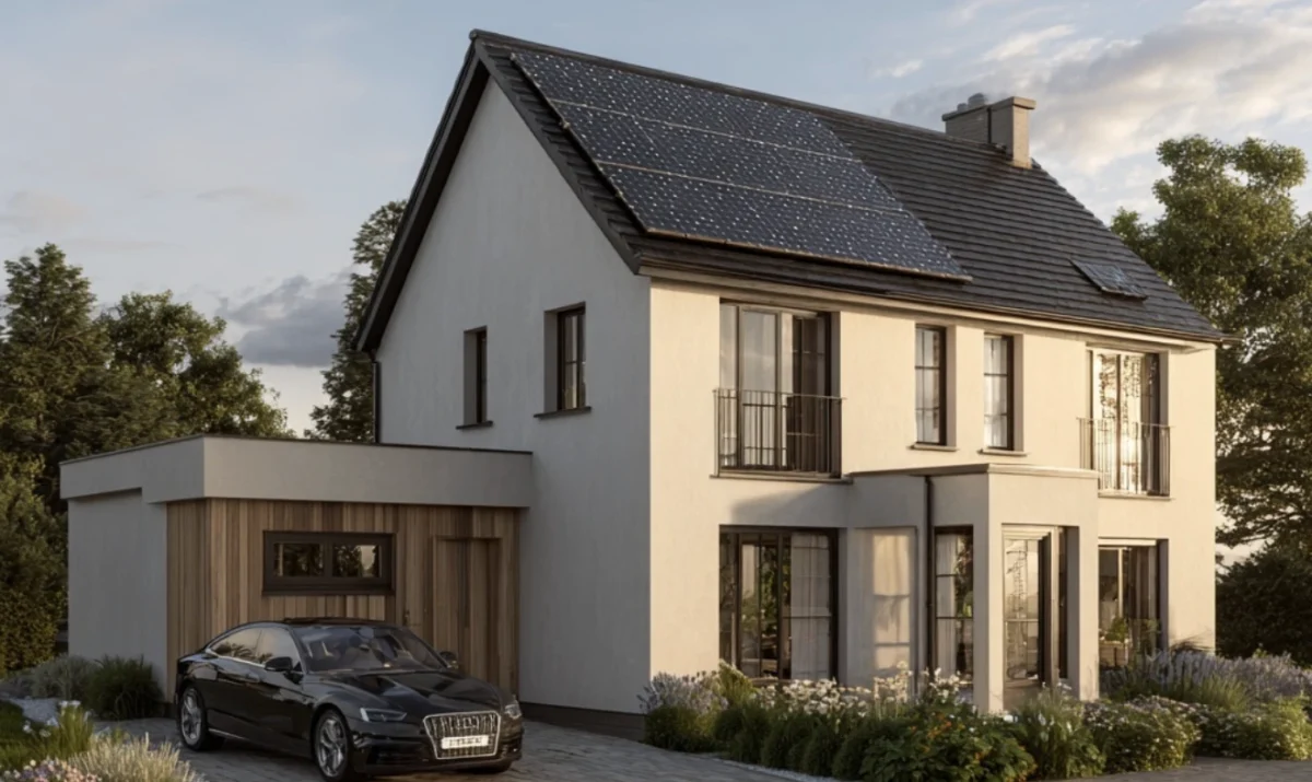
The Critical Role of Solar Design Aerial Imagery
Imagine trying to design a solar system without seeing the details of the roof, like a chimney. Impossible, right? High quality aerial imagery isn’t just a nice-to-have—it’s the foundation of accurate solar system design. Good quality aerial imagery has a pixel of 5 to 10 centimeters, while low quality imagery has a pixel of 30 centimeters. It’s not hard to imagine what the effects could be.
High-resolution aerial imagery allows you to:
- Create a solar panel layout with pinpoint precision, taking obstacles into account
- Create compelling visualisations for potential customers
Challenges of Inadequate Aerial Imagery
When your aerial imagery falls short, the consequences can be significant:
- Inaccurate Designs: Imagine that you can only install part of your designed system because the roof ended up being smaller than you could see on the image. This leads to unhappy customers, an unhappy installation team and additional costs.
- Reduced Sales Effectiveness: Customers want to see precise, professional proposals with a visual representation of what their house would look like with the solar panels. Not a group of pixels where you can’t make out what the roof is.
- Increased Installation Risks: Unexpected site conditions like a chimney can derail entire projects. It’s possible you add too many panels on the design while this doesn’t fit with the actual roof because of an obstacle.
- Potential Financial Losses: Redesigns and adjustments to your projects cost time and money.
Cutting-Edge Solutions on the Horizon
The solar industry is embracing innovative approaches to aerial imagery. A lot of installers are starting to use drone technology that is revolutionising site assessments, offering:
- Rapid, precise site surveys
- Detailed topographical mapping
- High-resolution imagery capture
- Significant time savings in project planning
Companies like Raptor Maps and Scanifly are already leveraging drone technology to provide advanced 3D modelling and analytics, setting new standards in solar project design.
Solar Monkey: Your Partner in Precision
We understand that you need advanced solar design software aerial imagery to create systems and proposals that sell. That’s why we’re using and developing comprehensive solutions:
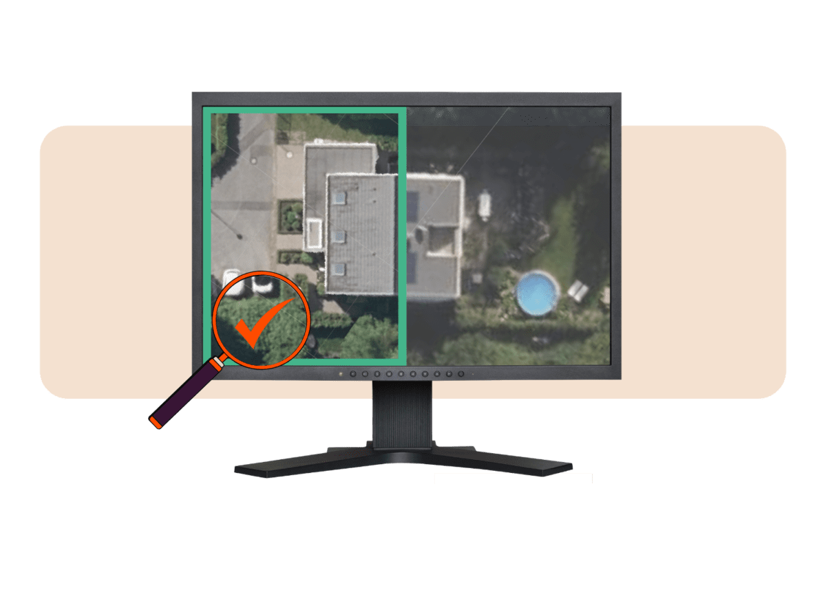
- AI-enhanced imagery: Unreliable system designs are a thing of the past with our new AI-enhanced imagery feature. By combining height data with improved aerial imagery, you can design accurately everywhere.
- Diverse Imagery Sources: We have integrate multiple sources such as Google Solar, Azure, and TIM-online for maximum clarity.
- Seamless Drone Integration: Revolutionising your design workflow by easily uploading your drone imagery to match with our industry-leading height and shading data.
Our approach goes beyond basic imagery options—we’re creating a solution that allows solar installers to design with confidence.
“For years, high-quality aerial imagery has been the major obstacle in designing PV systems. With AI-powered aerials, we’ve finally found a solution that unlocks new possibilities.”
Rohi Perlsteyn
Senior Research Engineer at Solar Monkey

Ready to Elevate Your Solar Design?
Solar Monkey is committed to providing the tools and technologies that transform good solar installations into great ones. Our mission is simple: equip you with the most advanced, user-friendly solar design software in the market.
Don’t let subpar imagery hold your business back. Combine precision with innovation by using Solar Monkey.